
The Met Office has issued a new weather warning for Cumbria, with temperatures expected to plummet.
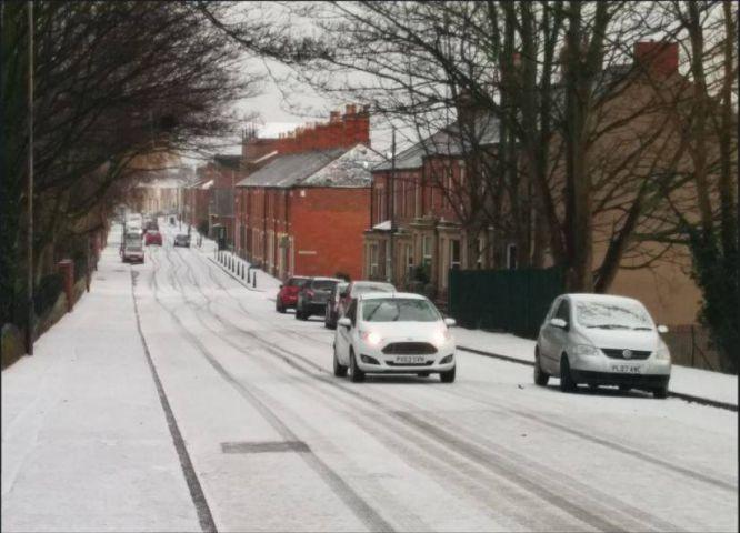
Predictions of several centimetres of snow in the county have yet to materialise, although there have been reports of difficult driving conditions on many of the county's highest routes.
A Met Office yellow weather warning is currently in place for snow in the county, lasting until midnight tonight.
While it covers all of Cumbria barring the very eastern edge, the nature of the showers means most of the county could get at least a dusting.
A spokesman for the Met Office said there were likely to be thunder and lightning storms accompanied by showers, but the fact the air had travelled from Arctic Canada means those showers will fall as snow rather than rain.
"About 2cm of snow is possible even to low levels in places," the spokesman said, "and 5cm to 10 cm is possible on high ground above about 200m."
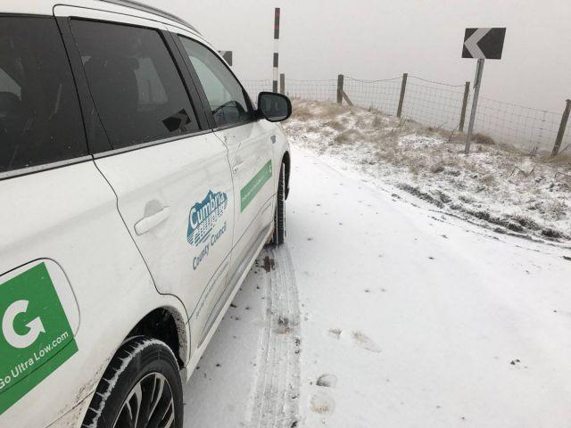
#Snow on #Hartside too - please drive to conditions & allow extra time for your journeys. For winter driving advice: https://t.co/6dW8r0fHjc pic.twitter.com/Olmj69IPeN
— CumbriaGritters (@CumbriaGritters) January 12, 2017
Cumbria County Council's weather cameras are showing snow on most areas of the county, with Kirkstone Pass and Hartside Pass among those.
Winter driving: Drive to the conditions - Stopping distances can double in wet and increase ten-fold in ice and snow #WinterWeatherIsComing
— Cumbria Police (@Cumbriapolice) January 12, 2017
Cumbria Police this morning urged motorists to take precautions and drive sensibly.
For winter driving advice visit http://cumbriawinterready.org.uk
There are so far no major incidents reported as a result of the weather.
A new weather warning for ice has now been issued for Cumbria, from 12.05am until 11am tomorrow.
As spokesman said: "Ice is expected to form on untreated surfaces tonight and last into Friday morning.
"In addition, some outbreaks of sleet and snow are likely to run quickly southwards on Friday morning, chiefly affecting parts of northern and eastern England, clearing the extreme southeast by late morning.
"This may give local accumulations of 1cm to 2cm and add to icy conditions in places."
West Cumbria experienced high winds yesterday, especially on the coast.
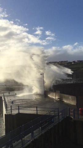
This was captured by John Davies from Whitehaven's sea lock office in this photo.


Comments: Our rules
We want our comments to be a lively and valuable part of our community - a place where readers can debate and engage with the most important local issues. The ability to comment on our stories is a privilege, not a right, however, and that privilege may be withdrawn if it is abused or misused.
Please report any comments that break our rules.
Read the rules here