A draft report reveals that Crossings House at Barepot was flooded around four hours before the Environment Agency issued a warning that immediate action was required on December 5.
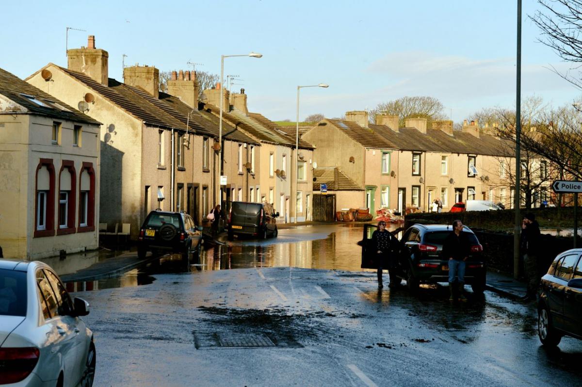
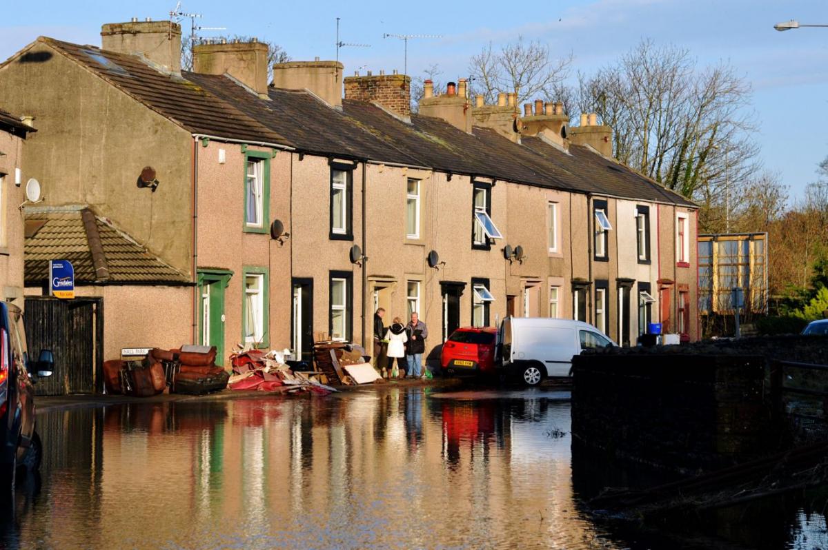
Around an hour later, the Hall Park View area was inundated with water, cutting off access to Workington Bridge.
The basements of two homes on Hall Brow flooded overnight on December 3 due to high levels of surface water.
Over the weekend of Storm Desmond, 28 homes around Hall Park View area flooded along with seven in Barepot.
Workington’s cricket and bowling clubs and the police station were also hit.
Compiled by the Environment Agency and county council, the draft report for Workington and Barepot has been issued ahead of a public meeting on Tuesday. The report says December’s deluge came as the River Derwent saw its highest flow ever recorded.
At peak flow, 410 cubic metres of water per second raced down the Derwent at Seaton Mill flow gauge.
In Barepot, an embankment and wall built after the 2009 floods kept out most water, the report states, but flood defences leaked and were outflanked by high water levels.
The report adds that residents’ rapid actions to block off a flow route stopped greater volumes passing the defences.
The Environment Agency issued a flood alert for the area at 3.30pm on December 4. Around 1pm the next day, Barepot field began to flood.
By 4pm, flooding at Mill Field in Workington led to evacuation of Workington Hall Mill.
An hour later Crossings House at Barepot was flooded by water from Gale Brook and water from the river returns up a culvert, adding to flooding in the hamlet. Within another hour, the Hall Park View area was flooded, with access to Workington Bridge cut off, the report says.
A flood warning was issued at 9.01pm.
The draft report, which will be discussed at Tuesday’s public meeting, lists 15 specific proposed actions to help address flooding issues in the area.
They include possible landscaped flood defences in Hall Park and the possibility of limiting the flow of Soapery Beck near Hall Park View to protect the backs of homes.
Landscaping of Hall Park is also suggested to stop the River Derwent flooding across Hall Brow.
The influence of the Yearl weir and Yearl gravel islands on flood risk will also be investigated.
According to the report, United Utilities is set to carry out work to prevent water flows eroding the Yearl.
It calls on residents to review the effectiveness of their own flood resilience measures and landowners to review issues caused by river bank erosion either side of Workington Bridge.
The Cumbria Floods Partnership is putting together a 25-year flood action plan for the areas worst affected by December’s floods.
It will consider options to reduce flood risk along the length of the river catchment.
Tuesday’s public meeting at the Bridge Centre, Central Square, Workington, from 7pm to 8pm, will give people the chance to give feedback and ask questions about the draft report ahead of its completion.
From 5pm information will be available on flood resilience grants and Flood Re, with an opportunity for one-to-one discussions with officers and data gathering from 8pm.
Amanda Wallace, chairman of Workington Flood Action Group, urged everyone to attend.
She said: “It’s very important that people put their views forward.
“Quite often the people that were flooded understand the mechanism and potentially what needs to be done to put it right.
“I’d urge anyone to attend, whether they were flooded in 2015 or just in 2009. The more people who attend, the better informed the decision makers are.”


Comments: Our rules
We want our comments to be a lively and valuable part of our community - a place where readers can debate and engage with the most important local issues. The ability to comment on our stories is a privilege, not a right, however, and that privilege may be withdrawn if it is abused or misused.
Please report any comments that break our rules.
Read the rules here